

Operational Digital Twins,
Built for Smarter Cities
Turn the engineering work your city has already done into a system that runs your infrastructure.
DataSafe™
Enterprise-grade. Secure. Always-on.
25+
Years in Enterprise GIS
100+
Cloud Properties Managed
10,000+
GIS Users Served









What We Deliver
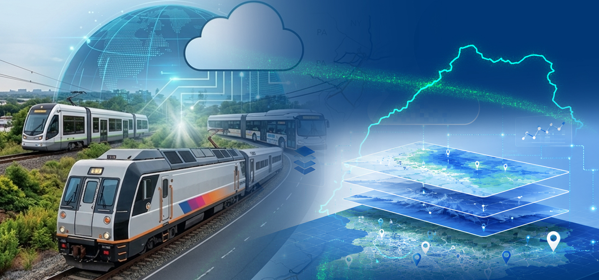
A living, time-aware replica of your infrastructure, past and present, secured by DataSafe™, built on ArcGIS, and managed by our team.
Reality capture + live ops data + enterprise systems, unified
Core capabilities
One authoritative source of truth, on your ArcGIS platform.
Utility Intelligence
Know exactly where your water, gas, electric, and telecom lines run, and avoid costly conflicts before you dig.
Learn MoreOperational Digital Twin
Live sensor data keeps your model current, with alerts before small issues become big problems.
Learn MoreManaged & secure: How we build it

CJIS & FedRAMP-Aligned

Built On Esri ArcGIS Foundation

Fully Managed ArcGIS Operations
One Authoritative Source of Truth, Across Every Department
Disconnected data leaves teams working from different versions of reality. A CyberTech digital twin gives every department the same one.

Lower cost, measurable ROI

Faster emergency response

One trusted source of truth
Your Digital Twin Journey
From first assessment to full operational awareness. A managed path, not a science project.




Why CyberTech for Digital Twins?
Cloud expertise
We build and run your digital twin in the cloud, so you get enterprise performance without the overhead of managing it yourself.
Systems integration
We connect your digital twin to the systems you already use. No extra tool to manage on the side.
GIS depth
Deep, hands-on GIS expertise means your model reflects how your operations actually work.
Managed support and operations
We don’t just build it and leave. Our team keeps it running, current, and improving after launch.
Start with a Digital Twin Readiness Assessment
Not sure where to begin? Our assessment evaluates your existing GIS, BIM, and operational data, and gives you a clear roadmap to your first digital twin use case.
Case Studies
 Success Stories
How Central Arkansas Water Built a Smarter Imagery Foundation on ArcGIS Enterprise
 Success Stories
Essex County Leverages CyberTech’s Expertise to Identify Critical Flu Patterns

Ready to Build Your 0perational
Digital Twin?
Start with a readiness assessment. No commitment, just a clear picture of your first digital twin use case.
Built on ArcGIS · DataSafe™ Secured · Esri Platinum Partner