
SAP ArcGIS Integration Explained: How Unity Engine Bridges ERP and GIS
Two of the most widely used enterprise systems in asset-intensive industries, SAP and Esri’s ArcGIS, were built to do completely different jobs. SAP manages the business of assets, while ArcGIS manages where those assets actually are. On their own, each is powerful. Connected, they become something else entirely through SAP ArcGIS integration.
It’s a term that comes up constantly in utilities, energy, water, and infrastructure organizations, but it rarely gets explained in plain language. What is SAP ArcRGIS integration, and why has it become so important for organizations that rely on both ERP and GIS systems? More importantly, how does SAP ArcGIS integration work behind the scenes?
This guide provides SAP and GIS integration explained in simple terms. It covers how SAP and ArcGIS exchange data, the integration methods organizations commonly use, and how Unity Engine creates a reliable bridge between ERP and GIS without requiring a complex IT overhaul.
What Is SAP ArcGIS Integration?
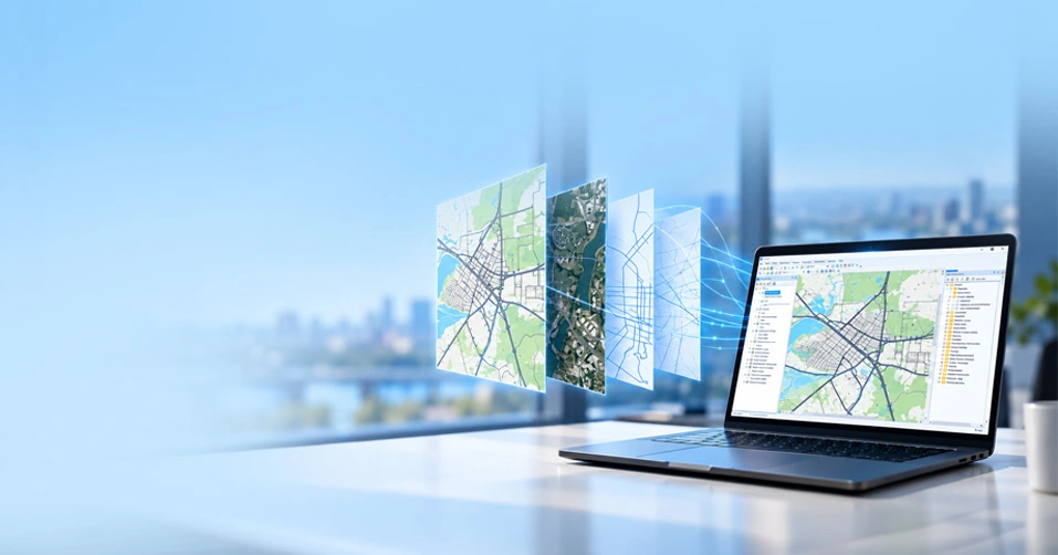
SAP ArcGIS integration connects your SAP system with Esri’s ArcGIS platform. It allows asset data stored in SAP to work together with map data stored in ArcGIS, so both systems always show the same information. This is one of the easiest ways to understand what is SAP ArcGIS integration, especially if you are learning about it for the first time.
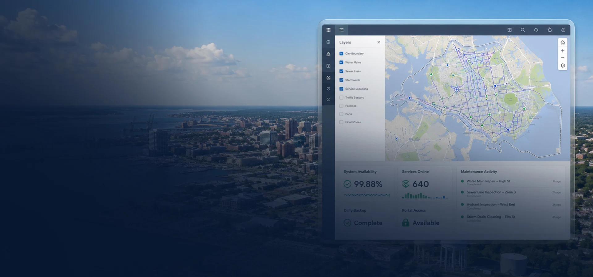
Think of a water pipe. SAP stores its maintenance history and cost details, while ArcGIS shows its exact location and the other pipes connected to it. When both systems stay in sync, a field worker can tap the pipe on the map and instantly view its complete SAP record on the screen.
Why Asset-Intensive Organizations Need It
Utilities, energy providers, and other asset-intensive organizations rely on accurate asset and location data to keep operations running smoothly. When SAP and ArcGIS aren’t connected, teams spend more time finding information, updating records, and coordinating work. That’s why ERP and GIS integration has become essential.
Here are the key reasons organizations invest in SAP ArcGIS integration.
- Assets are spread across large areas, so field crews need maps that al
- ways match SAP records.
- Entering the same data into both systems by hand can cause mistakes and waste many hours every week.
- Regulators expect asset records to be accurate and up to date, which is much easier when both systems stay in sync.
As networks grow, tools like the ArcGIS utility network need clean and reliable data from SAP to support planning and respond to outages.
| The global geospatial analytics market, highly driven by ERP integrations like SAP and Esri that reached USD 108.03 billion and is projected to hit USD 196.59 billion, progressing at a 12.72% CAGR. | ||||||
How SAP-ArcGIS Integration Actually Works
Connecting SAP and ArcGIS is not as simple as plugging in a cable. It needs the right connection method, a clear plan for how often data should update, and software that helps both systems share information correctly. Below are the main parts that make this integration work.
1. Integration Patterns: REST, OData, and the SAP Geospatial Enablement Framework
Connecting SAP and ArcGIS relies on a few established integration patterns. REST APIs exchange data between the two systems in near real time, while OData provides a standardized format that keeps information consistent as it moves between SAP and ArcGIS. Many organizations also use the SAP Geospatial Enablement Framework (GEF) to transfer geographic data between SAP and mapping platforms like ArcGIS.
For organizations exploring how to integrate SAP with Esri ArcGIS, the first step is selecting the right integration method and mapping data between both systems. This forms the foundation of SAP Esri integration explained in practice.
Unity Engine supports these integration methods and is SAP-certified for integration with SAP S/4HANA. This gives organizations a proven, reliable way to connect SAP and ArcGIS without building a custom integration from scratch.
2. Real-Time vs. Batch Synchronization
Some organizations need real-time updates, so any change made in SAP appears in ArcGIS within seconds. Other organizations are happy with batch updates, where data is synced every few hours or once a day.
Real-time bi-directional data synchronization SAP GIS works best for emergency response teams because both systems stay updated at the same time. Batch updates are a better choice for organizations that only need their reports refreshed once a day.
If your teams handle outages or safety-related work, SAP real-time data integration helps keep every map up to date as soon as something changes in the field.
Which SAP Modules Connect to ArcGIS
Not every SAP module needs to connect with ArcGIS. Only a few modules and object types manage the asset and location data used in day-to-day operations. CyberTech’s SAP ArcGIS integration services focus on these core modules, helping organizations keep critical asset information synchronized between SAP and ArcGIS.
Below is a closer look at these modules and how Unity Engine connects each one to your maps.
1. SAP EAM / Plant Maintenance
SAP EAM, also known as Plant Maintenance, stores repair history, inspection records, and maintenance costs for physical assets. When connected to ArcGIS, technicians can click an asset on the map, such as a valve or transformer, and instantly view its complete maintenance history from SAP.
2. SAP S/4HANA
SAP S/4HANA is SAP’s modern core ERP system. It includes SAP HANA spatial analytics, which processes location-based data directly within SAP. This helps finance, operations, and GIS teams access the same asset information from one system, reducing the need to switch between different tools and improving day-to-day collaboration.
3. Equipment, Functional Location, Work Order, and Notification Objects
Before looking at how these objects appear in ArcGIS, here’s what each one represents:
- Equipment: Individual physical assets, such as pumps, valves, transformers, or meters, that require maintenance and tracking.
- Functional Location: The physical or logical location where an asset is installed within the network.
- Work Order: A maintenance or repair task created to inspect, service, or fix an asset.
- Notification: A record of an issue, fault, or service request that may lead to a maintenance activity.
Unity Engine synchronizes these SAP objects with their corresponding features in ArcGIS, as shown below.
| SAP Object | What It Tracks | Shows Up on the Map As |
| Equipment | Individual asset details, like model and serial number | A point feature, such as a valve or a pole |
| Functional Location | Where the asset sits in the network | A location tied to the point feature |
| Work Order | Planned or finished repair jobs | A status flag or work layer |
| Notification | Reported problems needing attention | An alert marker on the map |
The Business Benefits of Integrating SAP with GIS
Once SAP and ArcGIS are talking to each other, the benefits show up fast, in the field, in the office, and in front of regulators. Below are three of the biggest wins organizations see after connecting these systems.
1. Faster Field Work-Order Execution
Field teams no longer need to call the office to check asset details before starting a job. They can open a work order on a tablet, see the exact asset location on the map, and access the information they need right away. This helps complete jobs faster, reduces travel time, and improves daily productivity.
2. One Trusted View of Asset Data
When SAP and ArcGIS share the same data, every team works with the same accurate information. Finance teams, office staff, and field crews all see the same asset records and map locations. This is one of the biggest benefits of integrating SAP with GIS, helping organizations avoid confusion and make better decisions.
3. Regulatory and Compliance Reporting
Utilities and energy companies often need to show where assets are located and when they were last inspected. When SAP and ArcGIS stay synced, all records remain accurate and up to date. This makes compliance reporting much faster, reduces manual work, and helps organizations meet regulatory requirements with confidence.
Real-World Example: Syncing SAP and ArcGIS at a Water Utility
Loudoun Water, one of Virginia’s largest water utilities, relied on SAP to manage asset and maintenance data while using Esri’s ArcGIS to support its GIS operations. As the utility expanded, keeping both systems synchronized became increasingly difficult, making it harder for field and office teams to work from the same information.
To solve this, Loudoun Water implemented Unity Engine to establish real-time synchronization between SAP and ArcGIS. Asset records, work orders, and spatial data remained aligned across both systems, improving data consistency while preparing the utility for its transition to SAP S/4HANA. The Loudoun Water case study highlights how the utility modernized its integration without disrupting day-to-day operations.
This approach reflects how water utilities modernize GIS operations while keeping SAP and ArcGIS synchronized to support more efficient day-to-day operations.
How CyberTech Supports SAP-ArcGIS Integration
Getting SAP and ArcGIS to work together takes more than just software. It also takes a team that understands both systems. CyberTech helps asset intensive organizations in the water, energy, and public sectors connect SAP and ArcGIS using Unity Engine.
Good master data management SAP ArcGIS practices are an important part of every project. Clean, consistent asset data reduces errors and keeps information aligned across SAP and ArcGIS. CyberTech’s Unity Engine master data management capabilities help organizations maintain reliable data before and after synchronization.
Whether your organization needs real-time updates or scheduled batch syncs, CyberTech builds a setup that matches your business needs instead of using the same solution for everyone. This guide has provided SAP and GIS integration explained in simple language, from choosing the right connection method to understanding the everyday benefits in the field.
FAQs
What is SAP ArcGIS integration, and why does it matter?
SAP ArcGIS integration links your SAP system with Esri’s ArcGIS maps, so asset and location data stay in sync. It matters because field crews, finance teams, and managers all work from the same accurate data instead of guessing which system is correct or re-entering information by hand.
What are the benefits of integrating SAP with GIS for asset-intensive organizations?
The benefits of integrating SAP with GIS include faster field work, fewer data entry errors, and quicker compliance reporting. Asset heavy organizations, like utilities, also get one trusted view of their equipment, which helps every team plan repairs and inspections with more confidence.
Which SAP modules can Unity Engine integrate with ArcGIS (EAM, Plant Maintenance, S/4HANA)?
Unity Engine connects SAP EAM, also called Plant Maintenance, along with S/4HANA, to ArcGIS. It also links Equipment, Functional Location, Work Order, and Notification objects, so repair history, asset locations, and open issues all show up correctly on the map.
Does SAP-ArcGIS integration support real-time, two-way data synchronization?
Yes. Bi-directional data synchronization SAP GIS setups let updates flow both ways. A change made in SAP appears in ArcGIS, and a change made on the map updates SAP, often within seconds once real-time sync is turned on.
Which utility industries use Unity Engine for SAP-ArcGIS integration?
Water utilities, electric cooperatives, gas providers, and other energy companies commonly use Unity Engine. These industries manage large, spread out networks of physical assets, so keeping SAP and ArcGIS in sync helps crews find, fix, and track equipment faster.
How does Unity Engine help utilities sync ArcGIS Utility Network data with SAP?
Unity Engine reads structure and connectivity data from the ArcGIS Utility Network and matches it to related SAP records, like Equipment and Functional Location. This keeps network models and maintenance data aligned, so planning and outage response both work from the same picture.
How does Unity Engine improve field work-order management for utilities?
Unity Engine pushes SAP work orders straight to the ArcGIS map, so field crews see exact locations and job details without extra calls to the office. This speeds up job completion and cuts down on duplicate or missed work orders caused by outdated paper maps.
CyberTech Systems and Software Inc.
Recent Articles

Central Arkansas Water's Digital Transformation
"*" indicates required fields