
Make Geospatial AI
A Business Advantage
DataSafe™
Enterprise-grade. Secure. Always-on.
100%
Built on ArcGIS platform
25+
Years in Enterprise GIS
100+
Cloud Properties Managed









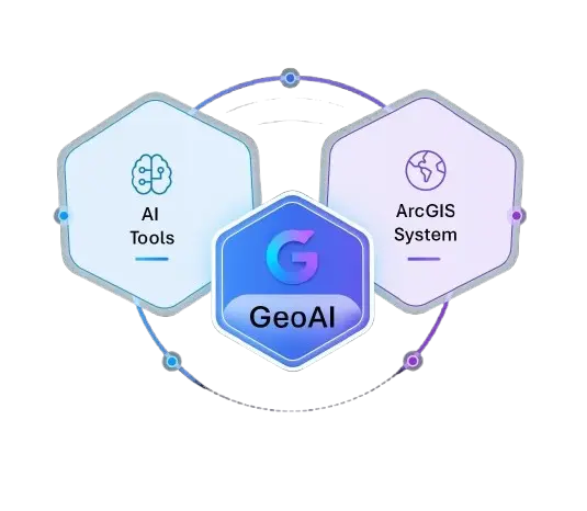
What we Build
Unlock AI at scale, on your ArcGIS platform, with your data, under your control.
AI-Ready Data Governance
Clean, structured, and governed data. The foundation every model needs.
Secure, On-Premise AI
Models deployed inside your environment. No data leaves your perimeter.
GIS AI Assistants
Query your GIS data in plain language. No code required.
GeoAi & Deep Learning
Spatial Analytics & Pattern Recognition
Agentic AI
Give it the skills, and it works through multi-step tasks on its own.
Responsible AI, Built Into Everything We Do

Your Data Never Leaves Your Environment

Trusted, Scientific AI You Can Rely On

Human-Led, AI-Powered

CJIS, HIPAA, and FedRAMP-aligned
Your AI Readiness Journey
Prepare your GIS data for AI adoption, with confidence, control, and measurable ROI.




Why Cybertech for Geospatial AI?
GIS-First, Not AI-First
We know your data model and ArcGIS environment. That context makes our AI more accurate.
Security Built In
Deployed for law enforcement, utilities, and government, where data security isn’t optional.
No Black Boxes
We explain how models work and how to interpret results, so your team trusts the output.
Production, Not Demos
Real data, real operational conditions. Not pilots that never scale.
Start with an AI Readiness Assessment
Not sure if your data is ready for AI? Our assessment evaluates your GIS data quality, identifies the best AI use cases for your organization, and gives you a realistic roadmap.
Case Studies
 Success Stories
Managed Services Accelerate a More Resilient, Secure ArcGIS Enterprise Environment for Veolia on AWS
 Success Stories
Gloucester County Runs a Modernized ArcGIS Enterprise Platform on AWS Through CyberTech’s Managed Cloud Services

 Success Stories
How Central Arkansas Water Built a Smarter Imagery Foundation on ArcGIS Enterprise
Ready To Put AI To Work In Your GIS?
Start with a readiness assessment. No commitment, just a clear picture of what’s possible with your data.
Built on ArcGIS · Secure · No third-party data sharing · Esri Platinum Partner