
How Central Arkansas WaterBuilt a Smarter Imagery Foundationon ArcGIS Enterprise
A regional water utility serving nearly 500,000 residents modernizes its geospatial platform
on a managed Azure cloud, with ArcGIS Image Server at the core.
Modernizing our GIS platform reduced operational risk, improved emergency response, and repositioned GIS as a strategic utility service rather than a fragile system dependency.
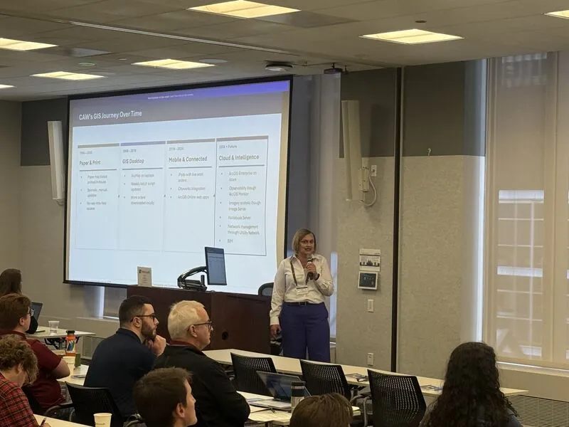
When a water utility manages 2,697 miles of pipeline, more than 200,000 metered connections, and three treatment plants across a 721-square-mile service area, geospatial information stops being a back-office function. For Central Arkansas Water, which supplies drinking water to nearly 500,000 residents across the Little Rock metropolitan region, that reality shapes every technology decision the GIS team makes.
For years, CAW ran its GIS program on an aging on-premises platform that could no longer keep pace with growing demand. Scheduled maintenance windows forced field crews onto printed maps. Unplanned outages cut off real-time infrastructure access at the moments it mattered most. As imagery workflows became central to engineering and field operations, the existing environment had no clear path to support them at scale. The GIS team was spending its time managing servers rather than advancing the program.
CAW partnered with CyberTech Systems and Software, an Esri Platinum Partner, to replace that foundation with a fully managed geospatial platform on Microsoft Azure, built to carry the program well into the future.


Three Purpose-Built Systems, One Cohesive Platform
CyberTech structured CAW’s environment as three purpose-built ArcGIS Enterprise systems, following Esri’s Well-Architected Framework across the Imagery Data Management and Analytics and Network Information Management System patterns. Each system is federated, purpose-scoped, and independently scalable.
The base ArcGIS Enterprise deployment, comprising Portal for ArcGIS, the hosting server, and ArcGIS Data Store, anchors the platform as the authoritative layer for web application hosting and managed data services. A dedicated ArcGIS Utility Network Server federated site carries branch versioning, topology, and trace services for CAW’s water network, isolated on its own compute so network management workflows remain stable and unaffected by other platform activity.
ArcGIS Image Server at the Core
CyberTech placed a dedicated ArcGIS Image Server federated site at the center of the architecture, provisioned with its own compute and governance controls, separate from the hosting server. Imagery processing runs on its own resources, so it never competes with the utility network and operational workflows that engineering and field teams depend on daily.
CAW’s imagery storage follows a hybrid model built for long-term growth. Active imagery collections sit in dedicated Azure Blob storage, separated from a raster store that handles analytical processing and on-demand workflows, with a complementary file share for auxiliary data. Image services are published with on-the-fly rendering tuned to how field and engineering teams consume imagery. Footprint optimization, including clipping, no-data definition, and mosaic boundary management, keeps service performance and cloud storage costs disciplined as collections expand.
ArcGIS Image Analyst is provisioned and ready for when CAW chooses to introduce automated mosaic refresh, change detection, or model-driven raster analytics, without needing to revisit the underlying architecture. ArcGIS Monitor extends observability across all three production systems, surfacing Image Server federation health, service alerts, and platform usage signals before users experience issues.
A Platform Ready for More
Active GIS users at CAW grew from 75 before migration to more than 200 today, as engineering, operations, and field services teams onboarded onto a platform they can rely on. ArcGIS Monitor has processed more than 10.3 million platform requests, with availability sustained at 99.9 percent across the managed environment.
The GIS program that once competed with its own infrastructure for stability has become a platform that field and engineering teams reach for first, and one built to grow alongside them.
By mapping existing facilities, proposed expansions, and active breaks, GIS serves as the critical link between office teams and field crews.
Achieve the same level of success
To learn how CyberTech can help your utility build a scalable imagery foundation on ArcGIS
Enterprise, contact us.
Learn more about the products used in this story
Esri offers multiple product options for your organization. Users can use ArcGIS Online,
ArcGIS Enterprise, ArcGIS Pro, or ArcGIS Location Platform as their foundation. Once
established, a wide variety of apps and extensions, including ArcGIS Image Server, are
available to extend and scale the platform.
CyberTech Systems and Software Inc.
Recent Articles


Central Arkansas Water's Digital Transformation
"*" indicates required fields